Baird & Hayes offer expert Urban and Regional Planning services, including:
Development Applications (Preliminary & Development Approvals)
Pre-lodgement Development Advice
Site Analysis & Concept Planning
State Legislation Review
Code Compliance Assessment
Sub-consultant Report Reviews (engineers, architects, etc.)
Negotiations with State & Local Governments
Show Cause Notices and Compliance Advice

We have experience with various land uses such as:
Dual Occupancy, Townhouses, Multi-Unit Accommodation
Reconfiguration of Land (Subdivision)
Industrial Applications (general and special industries, including ERA applications)
Commercial & Business Uses
Community Uses (childcare, schools, hospitals, etc.)
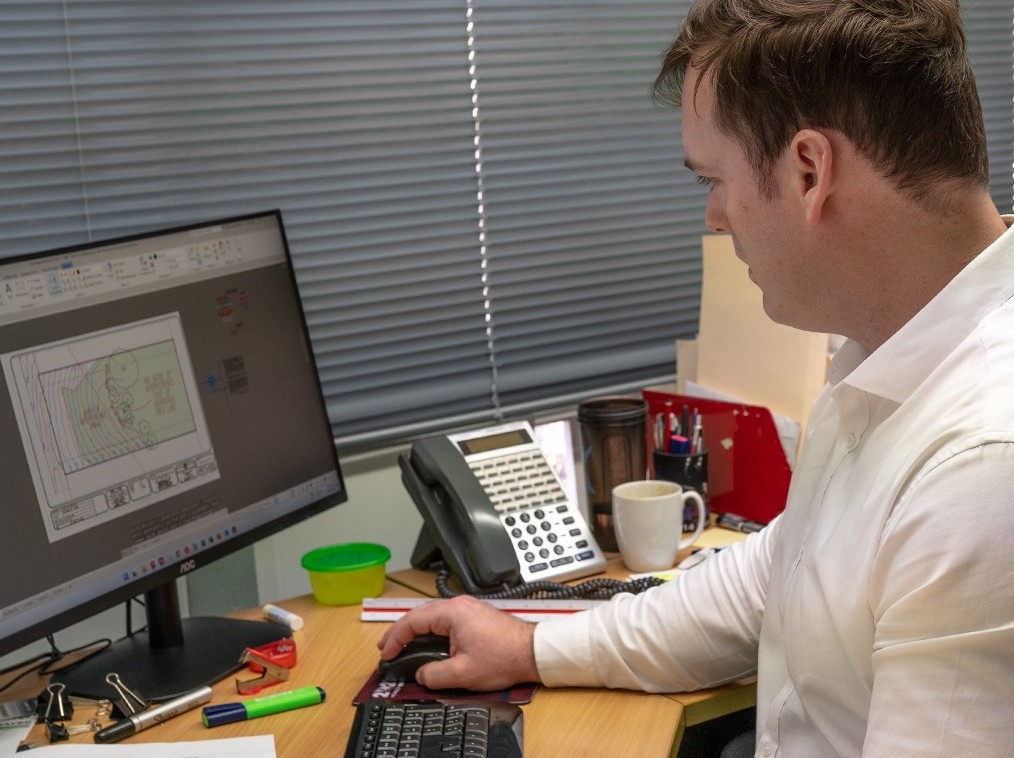
Baird & Hayes also provide Drafting Services for various types of projects:
Proposal Plans: Ideal for smaller projects like minor subdivisions or easements. These plans are prepared after a measure-up survey, or by using existing records including LiDAR and GIS Mapping tools, and checked by our Surveyors and Planners before submission to Council.
Site Development Plans: Required for large-scale developments. These plans combine survey data with engineering and architectural details to meet Building Codes and Planning Benchmarks.